Adair Bordon
2015-03-05 06:13:23 UTC
Does any iOS app (free or otherwise) do this one task well?
- GPS tracking overlaid realtime on a decent USGS quadrangle map.
MotionX GPS HD, by MotionX, Version 22.0
https://itunes.apple.com/us/app/motionx-gps-hd/id370488535?mt=8
I hike off trail in mountainous country every day, and I really
would like to find a usable app for iOS that does at least this
ONE critical off-trail task, which is to show the current track
on a decent USGS topographical map.
I tried MotionX GPS HD, but the underlying default topographical
maps are not even close to USGS quality; but, otherwise, that app
has many hiking bells & whistles (but none of the substance) you'd
need for off-trail hiking in mountainous country.
The type of hiking I do can be shown by the ten pictures appended,
snapped today, while on a daily hike from arbitrary point A to
arbitrary point B. The slopes are often 45 degrees and tightly
spaced, such that the topography is critical; plus it's hard to
map where I've been (I use old-fashioned surveyor's tape, but
I'd prefer watching, saving, and following a KML track).
The best (so far) *USGS topo map* has been from the freeware iOS app:
Topo Reader, by Dennis Lindsey
- https://itunes.apple.com/us/app/topo-reader/id940309979?mt=8
So, that's the standard we will compare the apps by.
The best (so far) KML *real-time tracking* has been from the app:
Map Plus (Offline Map + GPS Track + KML Editing), by Zax
- https://itunes.apple.com/us/app/map-plus-offline-map-+-gps/id438868200?mt=8
Examples of a substandard underlying maps *abound* for those items
which track KML, for example, these all fail miserably on maps:
- Logger Tool, by Skiroute16 (no terrain maps)
- Tracks Logger, by Siu Yuen Ho (no terrain maps)
- Map Measure Free, by zhao guo (no terrain maps)
- GPS++, by Ewoud Wijma (crashes on iOS every time)
- SlopeTacker Ski tracking, by Bach it Solutions (no terrain maps)
- Walkwith Map My Walk, by MapMyFitness (no terrain maps)
etc.
What I'm asking about is simple:
1. Decent USGS-quality terrain maps, plus,
2. Real-time KML tracking.
Is that too much to ask?
To give you an idea of the terrain, here is just a set of pictures
from the ad-hoc hike today, although every hike is different, the
terrain is always steep and mountainous and there are no trails:
- Typical hike today 1 Loading Image...
- Typical hike today 2 Loading Image...
- Typical hike today 3 Loading Image...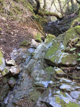
- Typical hike today 4 Loading Image...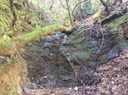
- Typical hike today 5 Loading Image...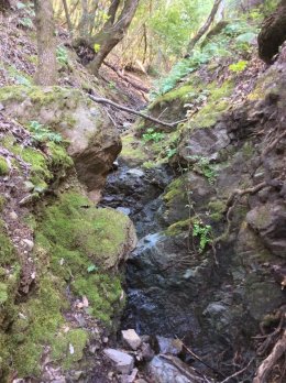
- Typical hike today 6 Loading Image...
- Typical hike today 7 Loading Image...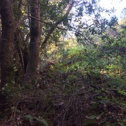
- Typical hike today 8 Loading Image...
- Typical hike today 9 Loading Image...
- Typical hike today 10 Loading Image...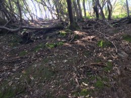
The question for those of you who hike off trail, is what iOS app
(free or otherwise) do you use that simply displays the current
KML track in real time on a decent USGS terrain map?